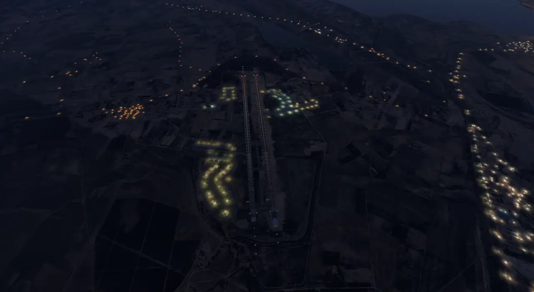
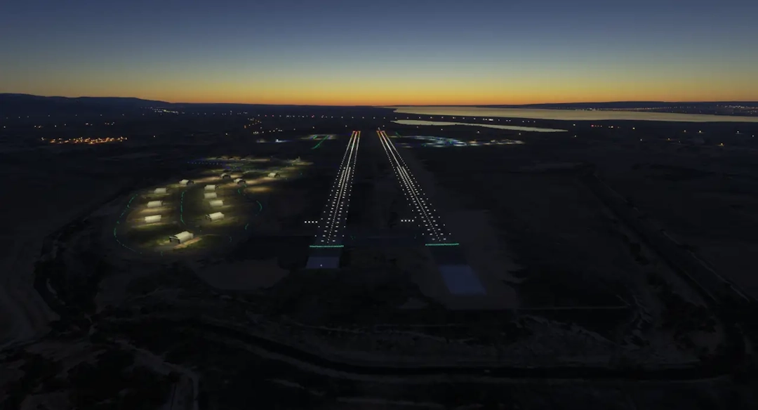
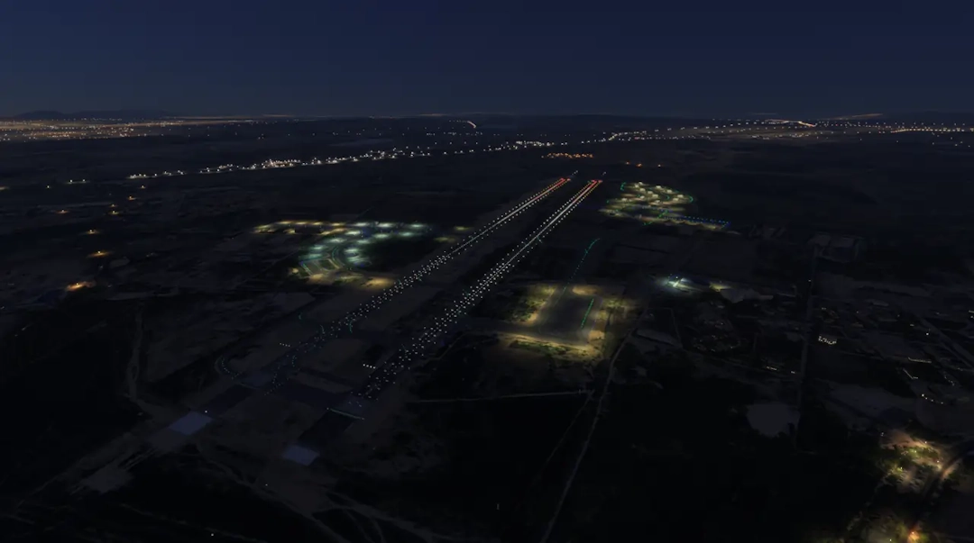
This custom scenery for Tafraoui Military Base (DAOL) enhances the airfield with more realistic structures, ground details, and lighting. Located near Oran, Algeria, DAOL is primarily used for military training and aviation operations.
Gallery

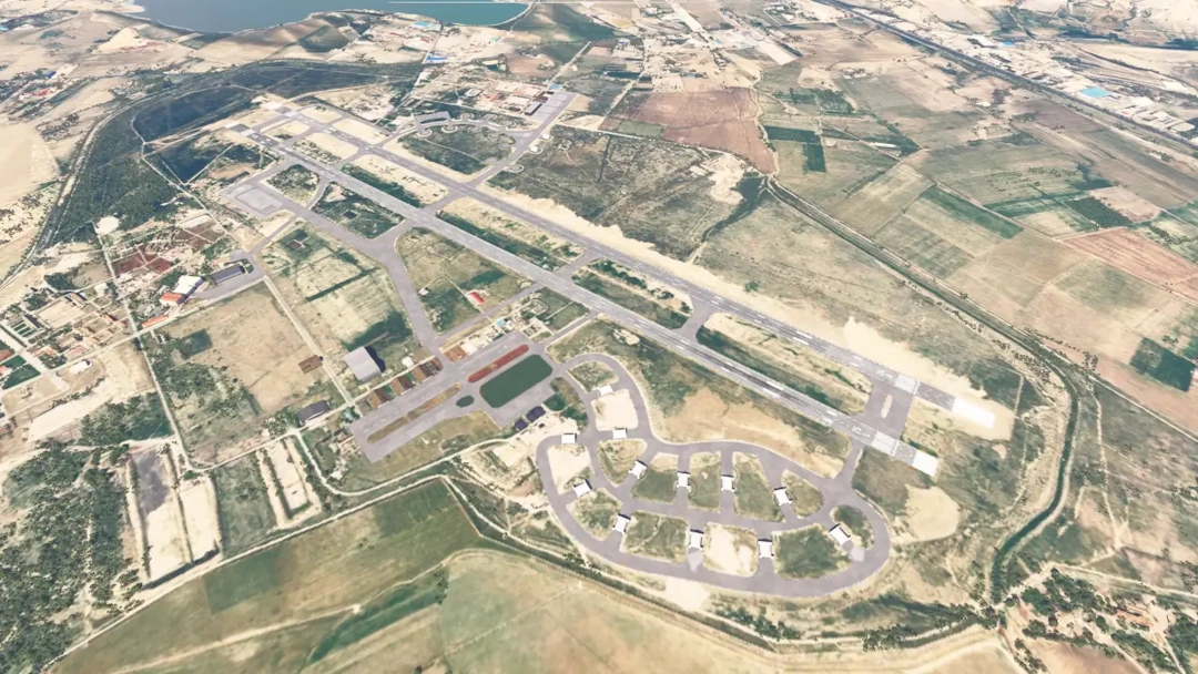
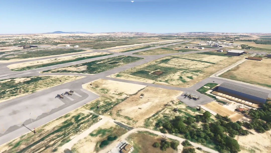
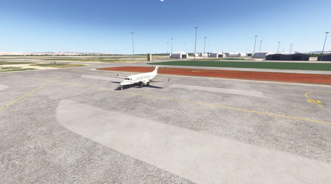
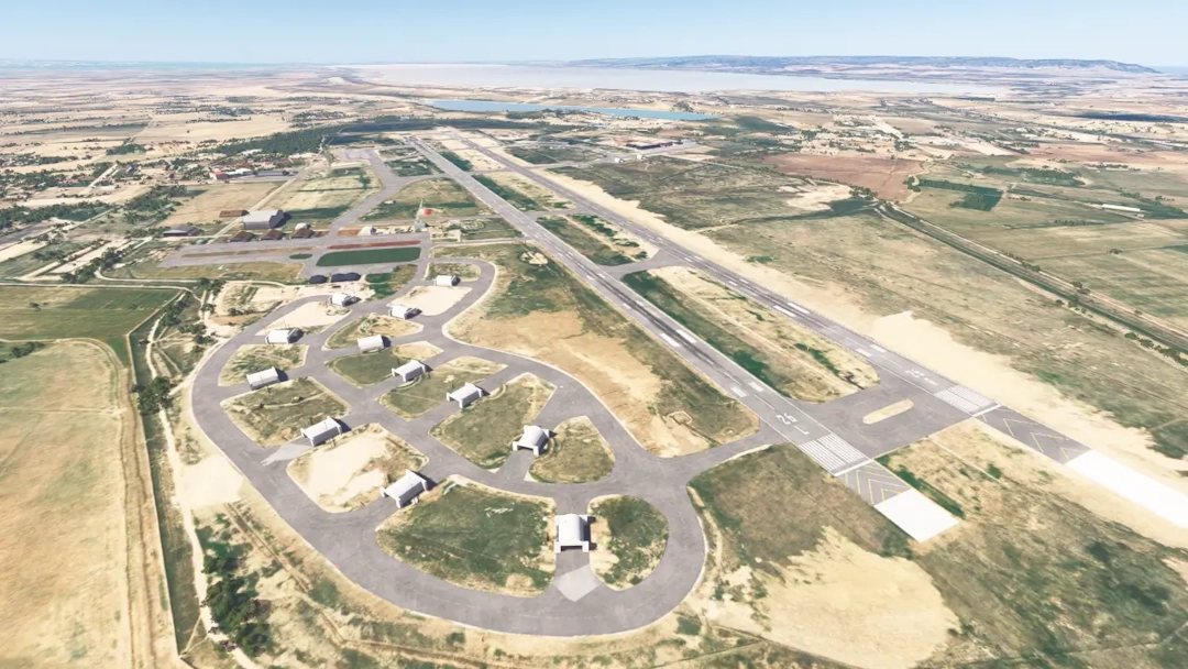
Key Features
- Accurate 3D models of key buildings and hangars
- Improved ground textures with detailed apron and taxiways
- Corrected airport layout for better accuracy in MSFS
- Custom lighting for enhanced visibility at night
- Optimized for performance
Navigation Aids (NAVAIDs)
For enhanced IFR training and realistic navigation simulation, a fictional VOR/DME station is available near Tafraoui Air Base. This navigation aid is not included by default in Microsoft Flight Simulator.
To enable this VOR/DME in MSFS, users must install the Algerian Military Navaids mod, which adds accurate military navigation aids across the country, including the one at DAOL.
VOR/DME TFR (Fictional-world, custom implementation in MSFS)
- Identifier: TFR
- Frequency: 112.8 MHz
- Type: High VOR
- Coordinates: 35.5372222° N, -0.5558333° E
- Elevation: 105.0 m
- DME: Yes
- Range: 200 NM
This VOR/DME serves as a key navigation reference for enroute procedures, holding patterns, and IFR approaches around Tafraoui Air Base.
Installation Instructions
- Download the scenery package.
- Extract the contents to your Community folder.
- Launch MSFS and enjoy your flight over Tafraoui and Oran area!
Important
This scenery references some optional models from the following third party sceneries:
- DAAQ, DAAN, DAAS and DAAJ Airports sceneries by Algerian WINGS Sceneries
- Ethnicfs Military Library
- Aguenar (DAAT) scenery by NetDesign
- In Guezzam (DATG) scenery by NetDesign
- Mikea.at - AssetPack
- Military Camp Library
- Animated Human 3D Models Library
Download
This project is free to download and is part of an effort to bring more detailed Algerian airfields to Microsoft Flight Simulator.
Leave a comment